MAPPING LSOG FOREST IN MAINE (October 2024)

Click on the image above to download the report (PDF).
PROJECT GOAL: To map late-successional and old-growth (LSOG) forest in the unorganized territories of Maine so timberland owners and conservation groups can work to conserve this increasingly uncommon forest age-class.
The 10-million acres of unorganized townships of Maine are unique in the eastern U.S. The area is nearly 100% forested and lacks the agricultural or ex-urban development of most of the eastern U.S. At night, the area is an enormous dark “hole” on the U.S. map. Although mostly managed for timber production, the area is a haven for wildlife species, from migratory birds to lynx and moose. Its rivers still provide habitat for many aquatic species, such as cold-water brook trout and the endangered Atlantic salmon. In short, the unorganized townships of Maine are a rare gem of global ecological significance.
However, because about 85% of these 10-million acres are privately owned and managed by timber companies, it can be financially difficult to retain late-successional and and old-growth (LSOG) forest in the mix of forest types and age classes. Stands older than 60 or 80 years of age are usually past their financial prime. Yet late-successional forest (100-200 years old) and old-growth forest (>200 years old) develop ecological characteristics such as large living trees, large dead trees (snags), and large logs on the forest floor. All of these structural attributes of old forest are important to a wide range of species, from nesting raptors such as the Goshawk, to less charismatic but highly sensitive mosses and lichens. The undisturbed temporal continuity of these older stands can also be important for species that do not disperse very fast through the landscape.
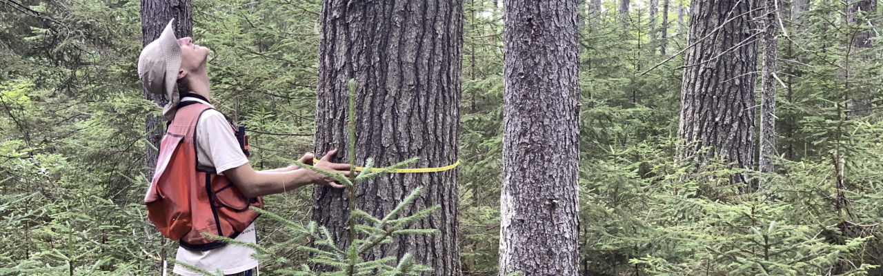
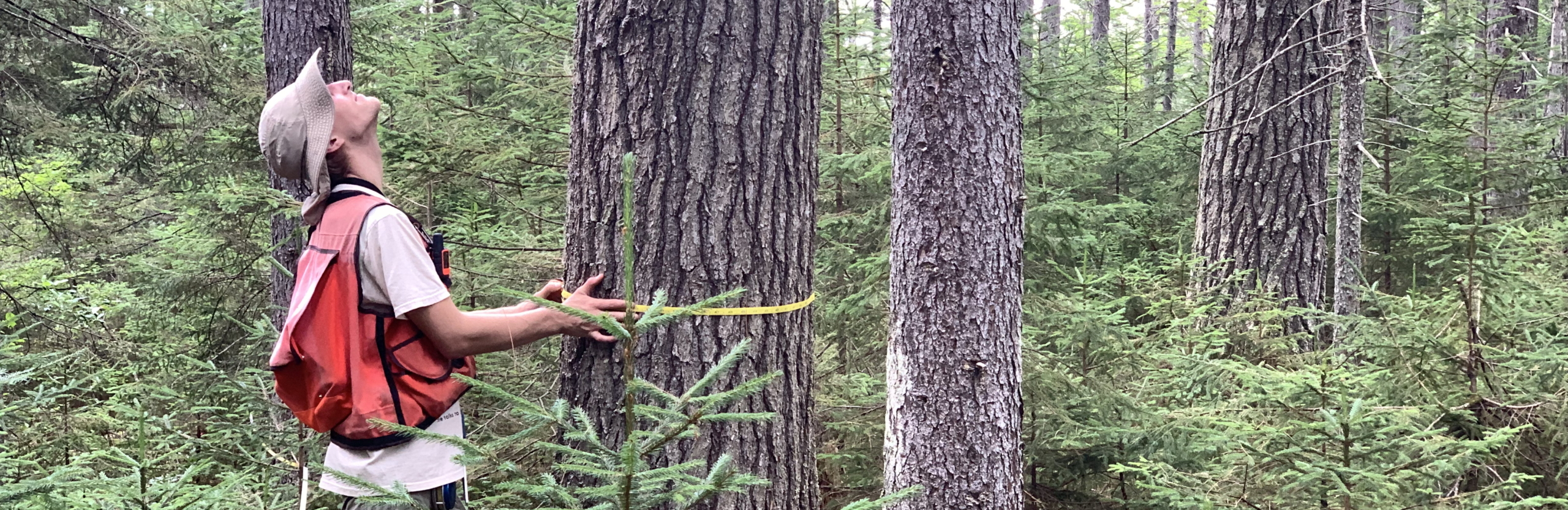
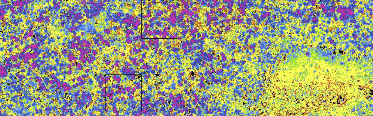
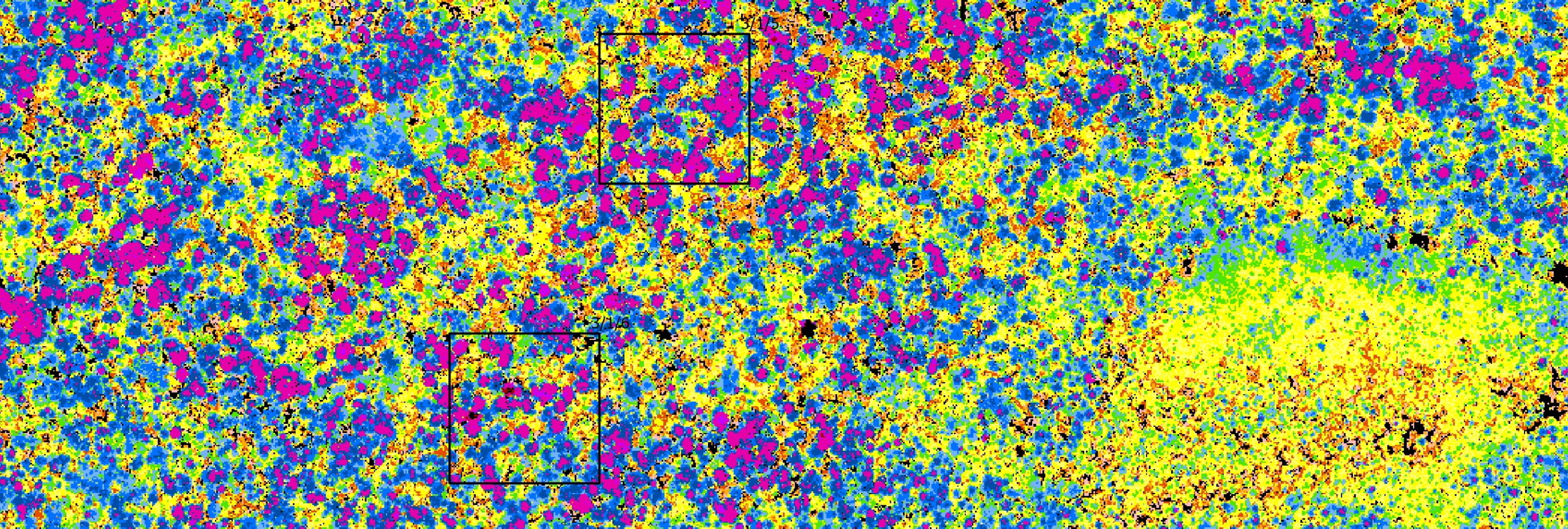
One big challenge to conserving LSOG forest over such an enormous area as the unorganized townships of Maine is knowing how much there is, and where it is. In this study, we explored the ability of LiDAR (light detection and ranging) to map and quantify LSOG forest. We used publicly available LiDAR data flown between 2015 and 2018 to map LSOG forest in Maine. This first project focused on the hardwood, softwood, and mixedwood forests that are most at risk to timber harvesting (loss). Future work will focus on mapping forested LSOG wetlands, such as cedar swamps.
As you will see in our report, we have a new tool that can help society think through how much LSOG forest we want and how we want it distributed. Land managers and conservation groups will both have a role to play. Our new maps will help. Our report outlines a number of strategies different stakeholders might use to conserve this important and diminishing age class of forest. We stand ready to help anyone who has an interest in conserving old forest in Maine.
How LiDAR Works
LiDAR stands for Light Detection and Ranging. It involves firing a laser beam, usually from an airplane, toward the ground (see below). The laser beam is reflected off of anything it hits, both the trees and the ground below. Because the laser beam is moving at the speed of light, the difference in the time it takes the first return to get back to the plane and the last return to get back to the plane tells us how tall the tree is. That is, the time difference is converted to a very accurate tree height (within 10 cm). Some of the laser beams bounce off of tree branches. The end result is a massive digital “point cloud” that creates a 3-dimensional view of the forest. The usable resolution of the publicly available LiDAR is a 1 square meter– extremely fine resolution compared to satellite imagery (30×30 m, or 10x10m).

PROJECT TEAM
John Hagan, Ph.D., Our Climate Common
Ben Shamgochian, Our Climate Common
Molly Taylor, Tufts University
Michael Reed, Ph.D., Tufts University
PROJECT FUNDERS
Cooperative Forest Research Unit, University of Maine
Daniel Hildreth
Maine Outdoor Heritage Fund
Maine Timberlands Charitable Trust
Seth Srague Educational and Charitable Foundation
The Arboretum Fund of the Maine Community Foundation
The Betterment Fund
The Dorr Foundation
The Emily J. Knobloch Foundation
The Horizon Foundation
LANDOWNER PARTNERS
Appalachian Mountain Club
Baskahegan Co.
Baxter State Park
Huber Resources Corp.
Irving Woodlands
Landvest
Seven Islands Land Company
The Nature Conservancy
The Weyerhaeuser Co.
Wheatland Geospatial Lab
LSOG Working Group
Kyle Burdick, Baskahegan Co.
Shawn Fraver, University of Maine
Jake Metzler, Forest Society of Maine
Neil Pederson, Harvard Forest
Shelby Perry, Northeast Wildnerness Trust
Justin Schlawin, Maine Inland Fisheries and Wildlife
Andy Whitman, Maine Forest Service
LSOG Rapid Assessment Protocol (RAP) (September 2025)

Click on the image above to download the report (PDF).

Click on the image above to play the movie (27 min running time)
YouTube Link: https://www.youtube.com/watch?v=-JJ3gX1iZCs
Link to ShinyAp: https://ourclimatecommon.shinyapps.io/RAP_v2/
Contact: Ben Shamgochian at bshamgochian@ourclimatecommon.org
PROJECT GOAL: To quickly, efficiently, and accurately determine whether a forest stand is Transitioning Late-successional, Late-successional, Old-growth, or “Not LSOG.”
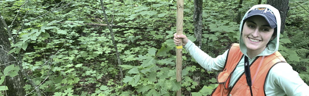
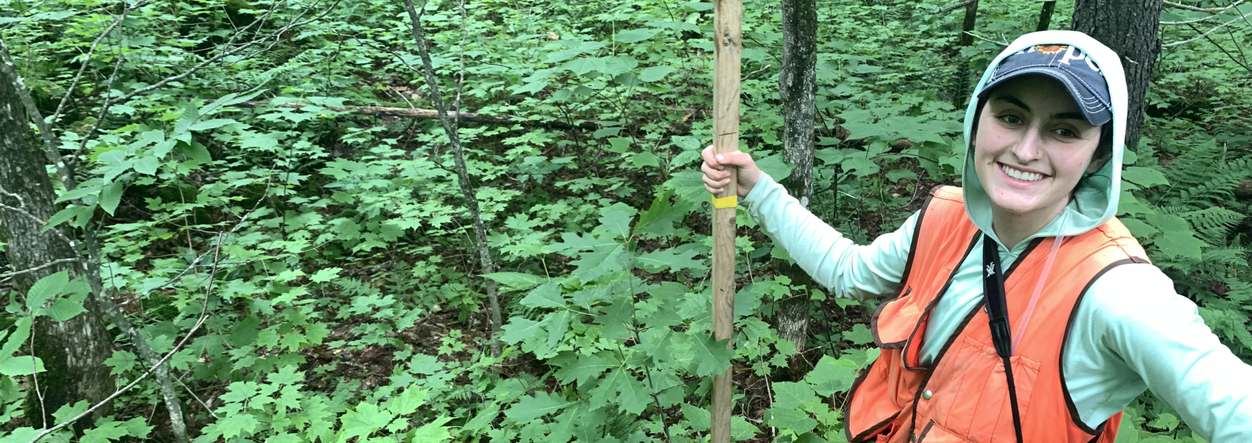
In 2024, we mapped LSOG forest in the unorganized townships of Maine using publicly available LiDAR (light detection and ranging) data (Hagan et al. 2024). The computer algorithm we used to build the map depended on having known reference sites– ground-verified LSOG stands the computer could use to “learn” what an LSOG stand looks like in LiDAR.
At the conclusion of the LSOG mapping project we realized that others might find our field classification method useful in their own forest management or land conservation activities. Though our maps proved to be correct over 90% of the time, there were still exceptions—false negatives (the map said the stand wasn’t LSOG, but it really was) and false positives (our map said the stand was LSOG, but it really wasn’t on the ground). In our October 2024 report, we encouraged land managers to screen any LSOG stands indicated on our map before making management decisions. “Trust but verify.”
In this report (the LSOG RAP V2.0) we describe a new field method for identifying late-successional and old-growth (LSOG) forest in Maine’s unorganized townships. Once on site, the method only takes 15-20 minutes. The data can then be entered into an online app that calculates the probability the stand is (1) Not LSOG, (2) Transitioning LS, (3) LS, or (4) OG forest (see Table 1 in the RAP report). We hope forest managers, field biologists, and others will find the LSOG Rapid Assessment Protocol easy to use and helpful in making practical, stand-level management decisions for LSOG stands.
LSOG Project in the news…
Click on the image below to play story

Click on the image below to play story
PRIORITIZING LSOG CONSERVATION (DECEMBER 2025)

Click on the image above to download the report (PDF).
The purpose of this report is to help land conservation organizations understand how to use our LSOG map in setting land conservation priorities.
The LSOG map that we produced from LiDAR in 2024 was a breakthrough in technology. LiDAR is like “magic” for locating late-successional and old-growth forest, no matter how remote. LiDAR sees “everywhere.”
Now that we have a comprehensive, high-resolution LSOG map, where should conservation efforts focus? The purpose of this report is to help land conservation organizations consider how they might put our LSOG map to use for land conservation in their geographic areas of interest. In this report, we present a series of logical questions a land conservationist might ask to guide their LSOG conservation decision making.
One obvious priority is to conserve the larger LSOG stands and tracts first. Once lost, such tracts will be difficult to replace. Large tracts can support ecological processes at both a micro-scale (<100 m) and a macro scale (>1,000 m). It makes sense to focus conservation efforts on large, currently unprotected, LSOG tracts. However, our LSOG mapping model correctly identified even small, 1-hectare (2.47-acre) patches of LSOG. Tens of thousands of such small patches exist throughout the unorganized townships of Maine. Many of the species most sensitive to the loss of old forest (lichens, mosses) can persist for long periods of time, even in small patches. If we want to conserve LSOG-associated species throughout Maine, we should also conserve these small patches too. Land conservation organizations may be best equipped to conserve the larger LSOG tracts, while commercial timberland owners are better equipped to conserve the widely distributed, smaller LSOG patches in their timber stand mapping systems.
We hope this report helps you conserve LSOG forest. Please get in touch with us if you have questions, or if we can help.